New Mexico Department of Transportation (NMDOT):
NM 532 Ski Apache, NM Safety Improvements
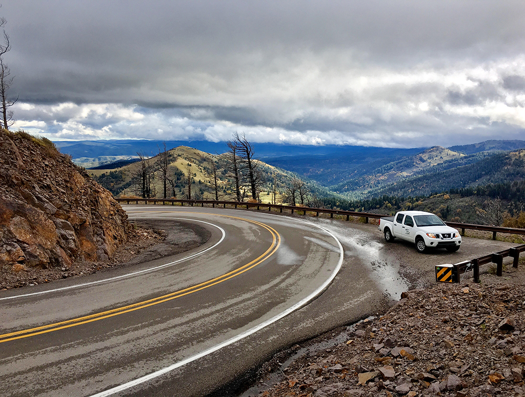
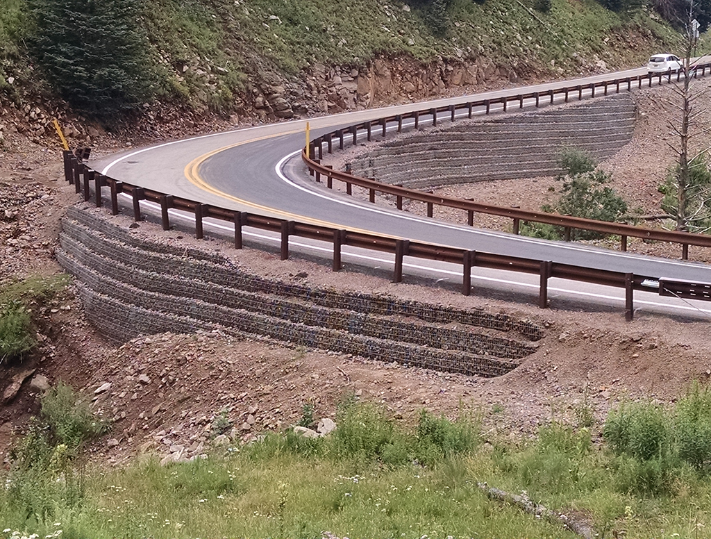
New Mexico 532 begins at the intersection of NM 48 in the vicinity of the community of Alto and extends westward approximately 11 miles to the Ski Apache ski area. The lower three miles traverses Eagle Canyon along a flatter, rolling terrain while the upper 8 miles is mountainous with sharp curves and steep drop off sections. The roadway has two 11-feet to 12-feet lanes with no shoulders. The roadway is very hazardous in the winter with no pull-off areas and insufficient shoulders for snow removal. NMDOT, the Forest Service and the Mescalero Apache Tribe would like to realign the road and bring the road up to current design standards. Smith provided a Phase 1A and 1B alignment study, conducted public hearings involving all stakeholders, providing the environmental studies and designed a roadway along a route that best meets the stakeholders’ needs and criteria. This included preliminary design of the entire corridor and final design of the three worst curves, bringing the roadway up to current design standards such as roadway width, horizontal and vertical curves, signing and striping, and drainage.
Connect With Us
Your inquiry is important to us. Connect with us by clicking the button below. We will get in touch with you as soon as we are able.
